Trailhead Amenities
Vault Toilet
Cell Service
Water
Garbage Service
Driving Directions
Directions to Elkhorn Crest Trailhead
The Elkhorn Crest Trailhead is located is 1/4 mile before Anthony Lakes Mountain Resort, off Anthony Lakes Highway in North Powder, OR.
New in 2023: The Forest Service now requires a northwest forest pass at this trailhead.
The Elkhorn Crest Trail #1611
Trail Description
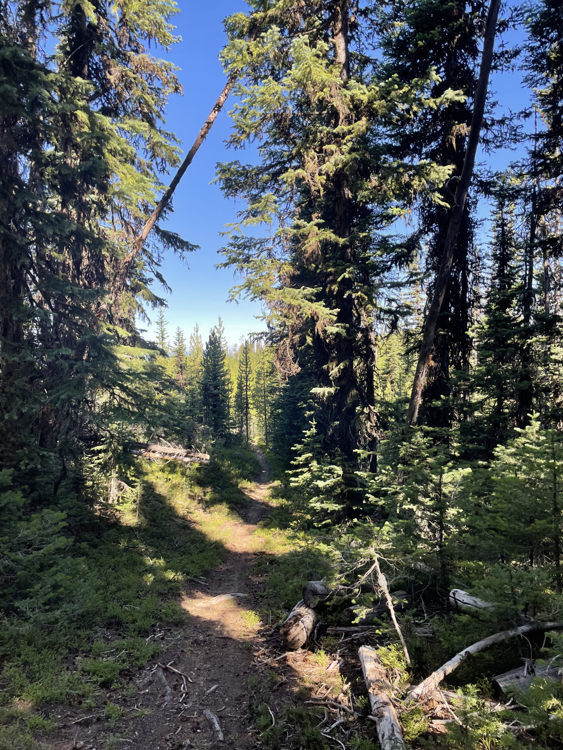
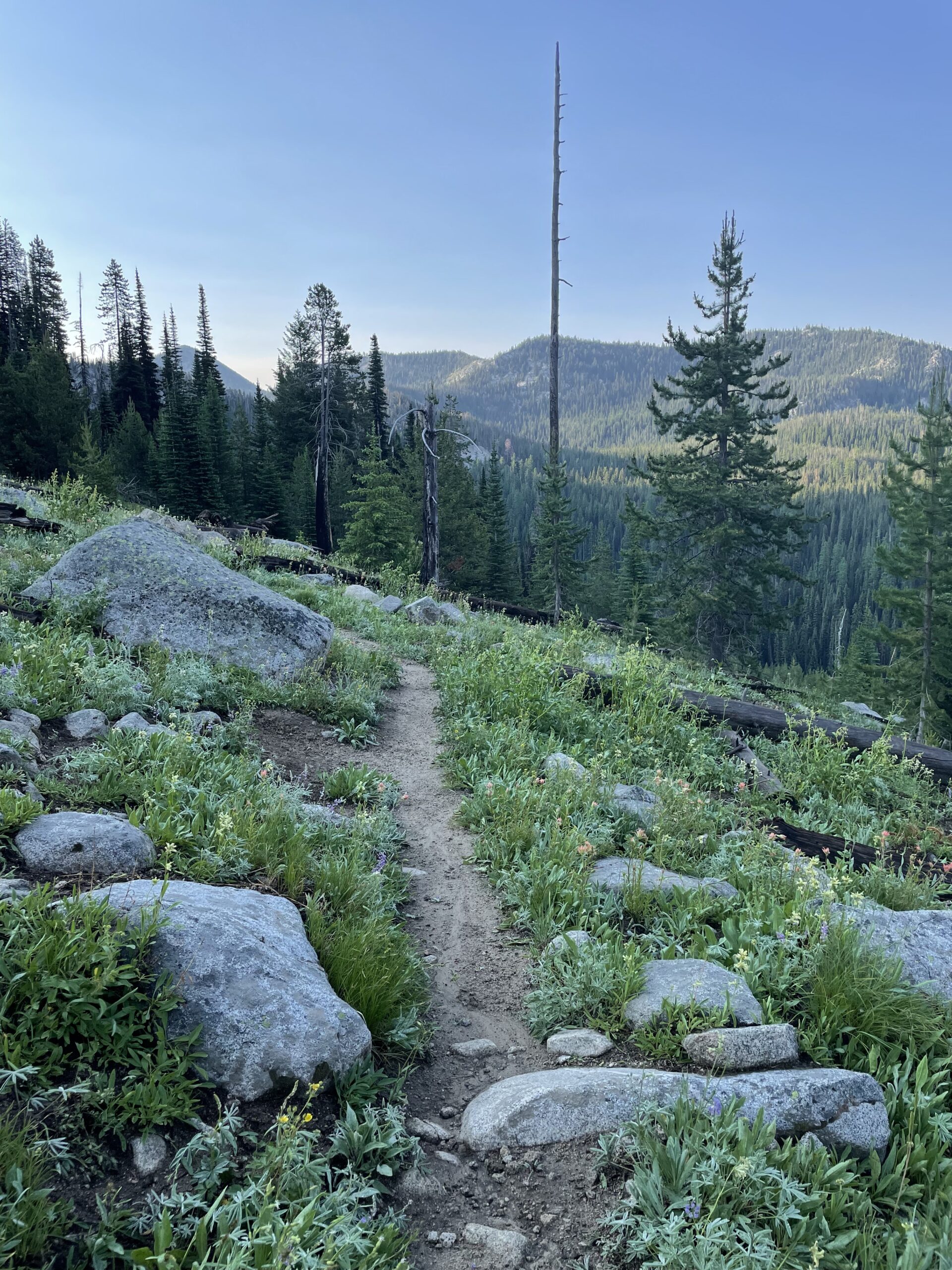
The Elkhorn Crest Trail is the highest trail in the Blue Mountains and runs along the Elkhorn Mountain ridgeline across sub-alpine forests and grasslands. From the northern to southern terminus it runs for 28 miles and offers panoramic views of the Baker Valley, the distant Wallowa Mountains and the Blue Mountains. Along the way you can also view six high mountain lakes, craggy nearby peaks and maybe catch a glimpse of a herd of elk or resident mountain goats.
Current Conditions
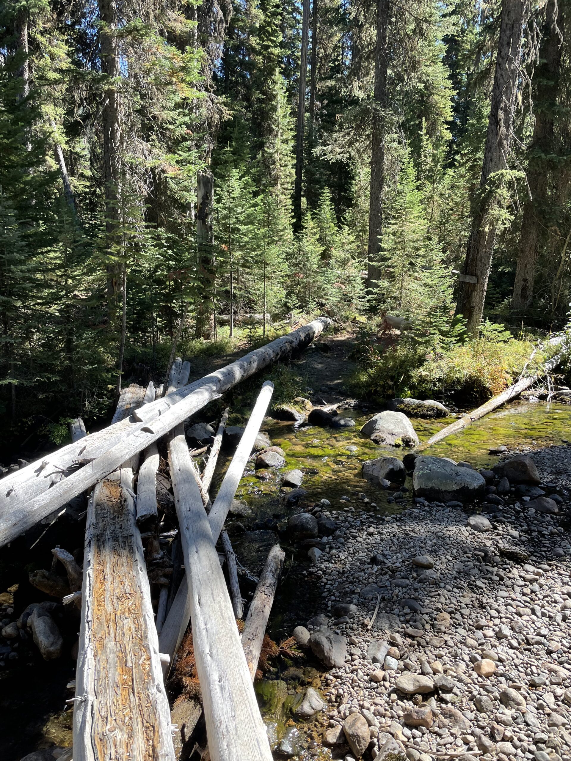
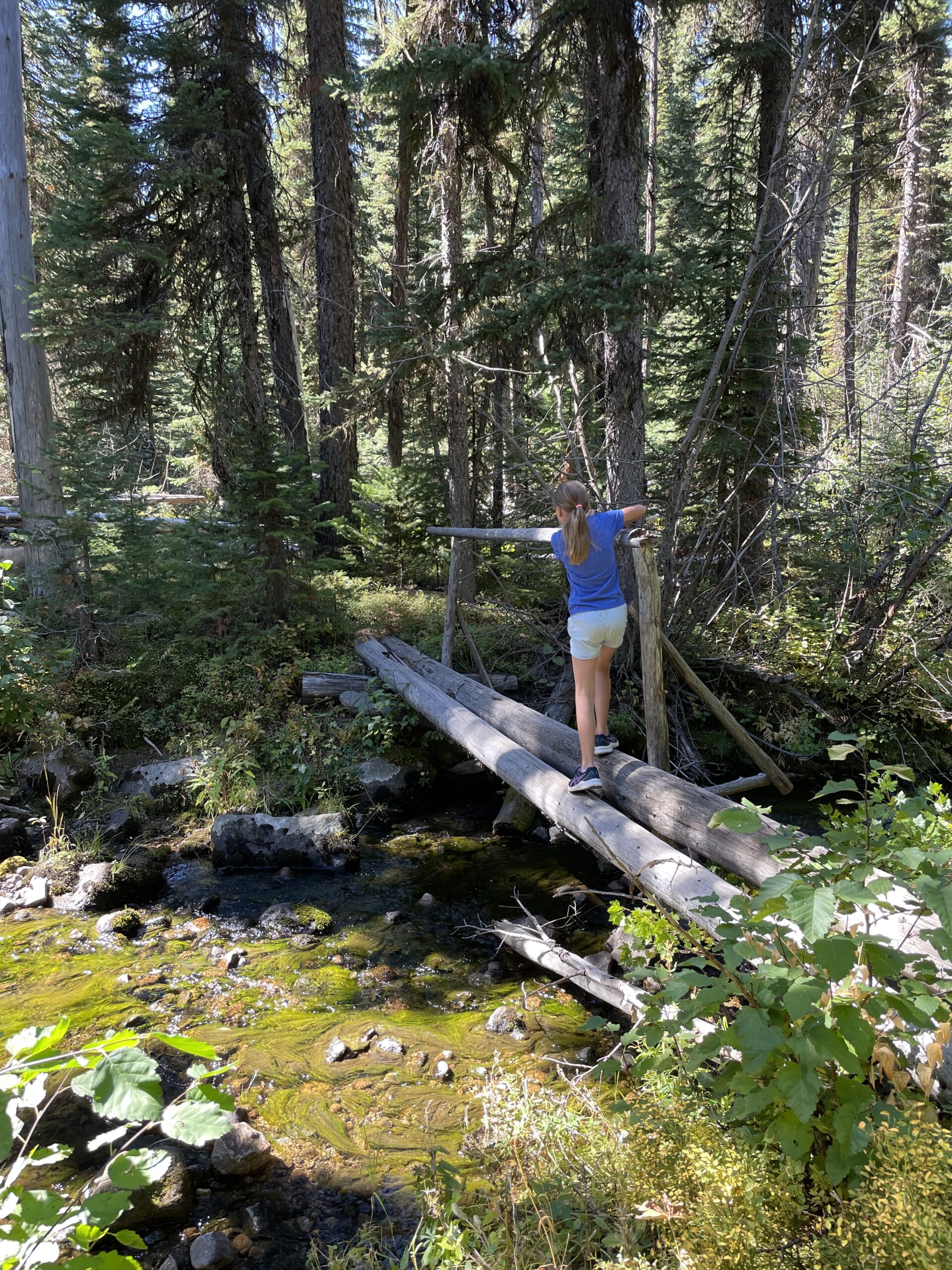
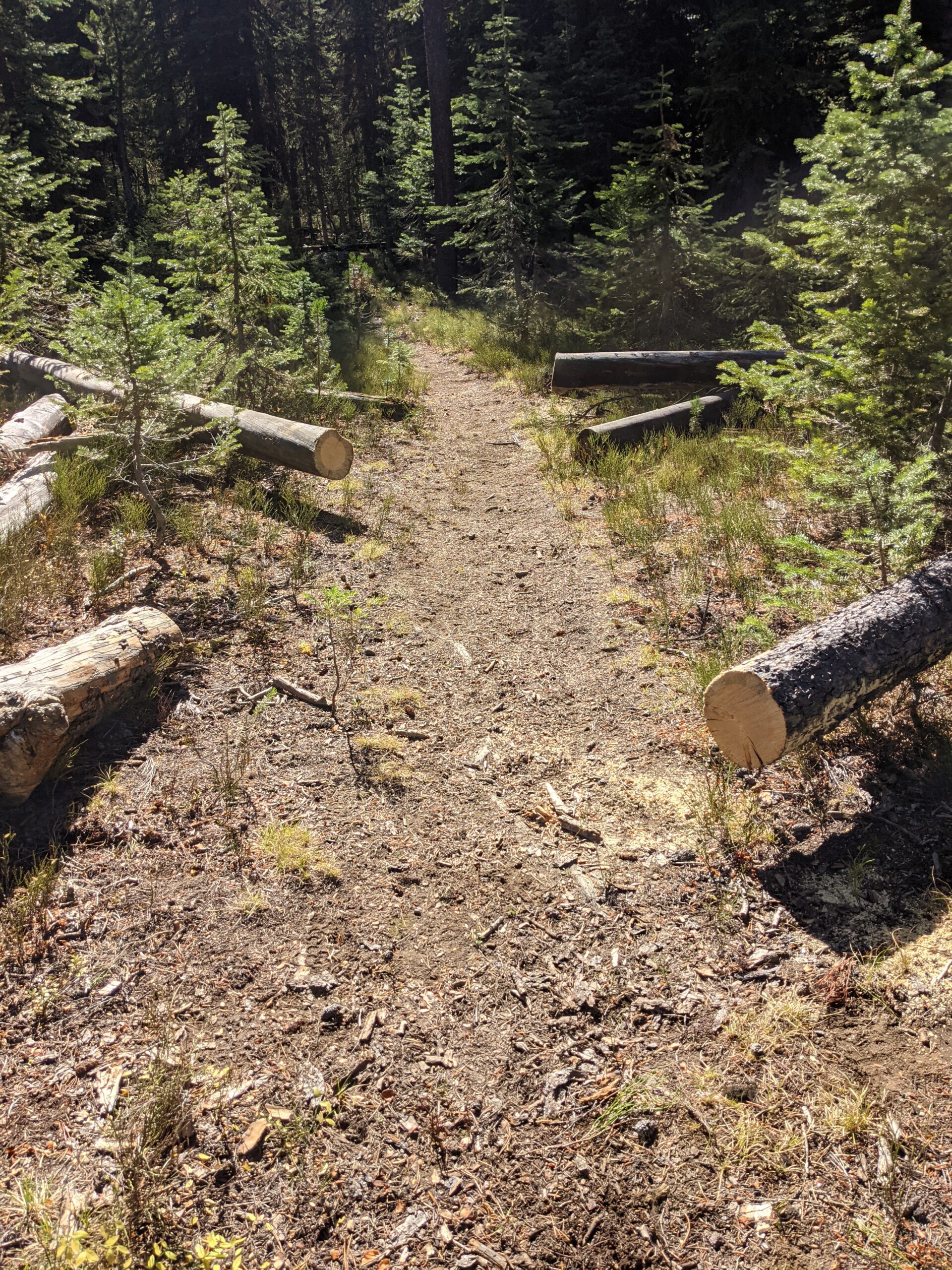
This trail is generally clear of snow from early July to late September. Expect winter debris (down trees, etc.) in the early season. Trail may not be maintained on a regular basis – obstacles on the trail may be present year-round.
Trip Types
Hiking, Backpacking, Horse Riding. Mountain Biking and OHV Riding are allowed up to the wilderness boundary (2 miles from northern terminus and 14 miles from southern terminus).
Map
Black Lake Trail #1600 and #1600a
Trail Description
The Black Lake Trail (#1600 and #1600A) begins at the parking area near the Anthony Lake Boat Launch and ends at Black Lake. The trail travels through subalpine forests and near wet meadows and small lakes. There are beautiful views of Gunsight Peak and other craggy peaks along the trail.
Current Conditions
Clear of snow
Trip Types
This trail is generally clear of snow from early July to late September. Expect winter debris (down trees, etc.) in the early season. Trail may not be maintained on a regular basis – obstacles on the trail may be present year-round.
Hoffer Lakes Trail #1641
Trail Description
Hoffer Lake Trail provides a short day hike from the Anthony Lakes area. The trail rises through a lodgepole pine and subalpine fir forest for a steep mile before arriving at Hoffer Lakes.
Current Conditions
This trail is generally clear of snow from early July to late September. Expect winter debris (down trees, etc.) in the early season. Trail may not be maintained on a regular basis – obstacles on the trail may be present year-round.
Trip Types
Mountain Biking, Hiking
Dutch Flat Trail #1618
Trail Description
Between Van Patten Butte and Twin Mountain, Dutch Flat Trail follows the creek gradually ascending through a forest of spruce, larch, ponderosa and lodgepole pine to Dutch Flat Meadow. The long meadow offers secluded campsites along the edges. From here the trail climbs steadily to Dutch Flat lake. The trail continues with switchbacks across a rocky slope passing small subalpine meadows to reach the Elkhorn Crest Trail #1611 at Dutch Flat Saddle.
Current Conditions
This trail is generally clear of snow from early July to late September. Expect winter debris (down trees, etc.) in the early season. Trail may not be maintained on a regular basis – obstacles on the trail may be present year-round.
Trip Types
Mountain Biking, Hiking
Two Dragon Trail #1850
Trail Description
Mountain bike enthusiasts can enjoy both the newly developed trails around Anthony Lake and trail 1850, otherwise alluded to as Two Dragon. The Two Dragon Loop, named after an 1870’s Chinese mining camp in the Carson Historic Mining district, is just short of six miles of high mountain foliage extravaganza. When angling to enjoy Two Dragon, park at Grande Ronde Lake or the winter motorized recreation parking lot just prior to where Ladd Canyon Road intersects Anthony Lakes Highway 73. Warm up your muscles by cycling .7 of a mile on Anthony Lakes Highway 73 gaining 123 feet of elevation to the west. Exit the highway upon encountering a huge white granite boulder adjacent to a brown carbonite sign that reads Trail 1850.
The two-mile single-track plunge rips through high alpine forest. White granite slabs, bearberries and subalpine fir punctuate the freshly re-established trail. After a delightful descent, leave the single track onto a double track marked as non-motorized road 43. Follow the arrow to the east for two miles taking in the fungi, lodgepole pine and pretty flowers. The 570 feet of elevation gain is gradual and the double track optimal for chatting. (Trail description from Ride with GPS)
Current Conditions
This trail is generally clear of snow from early July to late September. Expect winter debris (down trees, etc.) in the early season. Trail may not be maintained on a regular basis – obstacles on the trail may be present year-round.
Trip Types
Mountain Biking, Hiking
Crawfish Basin Trailhead
Click to learn more about trailhead amenities, trails, and current conditions.
Trailhead Amenities
Vault Toilet
Cell Service
Water
Garbage Service
Driving Directions
Directions to Crawfish Basin Trailhead
- From Baker City, Oregon, take U.S. Highway 30 to Haines
- In Haines turn left and follow the Anthony Lake Highway signs (turns into Forest Road 73) for 25 miles to the Anthony Lake Recreation Area.
- Continue on Forest Road 73 past Anthony Lake Ski Area for 3.8 miles to Forest Road 210 and turn left. (Forest Road 210 is across from Forest Road 5185)
- On Forest Road 210 travel about 2 miles to the top of the ridge overlooking the ski area.
- Turn right along the ridge and follow road to the road junction.
- Take the right at the road junction to the trailhead.
Note: the FS 210 road is steep and narrow. It is not suitable for passenger car vehicles, trailers or RVs.
Crawfish Basin Trail #1612
Trail Description
The Crawfish Basin Trail #1612 crosses the northeast portion of the North Fork John Day Wilderness and displays impressive views of Lakes Lookout, Lees Peak and Angel Peak. The trail also provides an excellent view of the ridges and draws extending to the southwest. At Dutch Flat Saddle the trail joins the scenic Elkhorn Crest Trail #1611. This is a great hike in the northern elkhorn mountains.
Current Conditions
This trail is generally clear of snow from early July to late September. Expect winter debris (down trees, etc.) in the early season. Trail may not be maintained on a regular basis – obstacles on the trail may be present year-round.
Trip Types
Hiking, Backpacking
Map
Upper Crawfish Trailhead
Click to learn more about trailhead amenities, trails, and current conditions.
Trailhead Amenities
Vault Toilet
Cell Service
Water
Garbage Service
Driving Directions
Directions to Upper Crawfish Trailhead
- From Baker City, OR head north on Highway 30 toward Haines approximately 10 miles.
- In Haines turn left and follow the Anthony Lake Highway signs (turns into Forest Road 73) for 25 miles to the Anthony Lake Recreation Area.
- Continue past the Anthony Lakes Recreation Area for about 4.5 miles and turn left on Forest Road 216.
- On Forest Road 216 go about 0.2 miles to the trailhead.
Crawfish Trail #1606
Trail Description
Crawfish Lake Trail offers a short and moderately steep access to the northwest side of the Elkhorns Mountains and North Fork John Day Wilderness. The trail starts by descending down an old dirt road (closed to motorized use) for about the first half-mile. It then slopes and contours around the hillside with great views of Crawfish Basin and Elkhorn Mountains. The last half-mile climbs through thick stands of young fir, spruce and lodgepole pine and crosses Crawfish Creek along the northwest edge of the North Fork John Day Wilderness to the lake.
Crawfish Lake is situated at the base of the jagged northern peaks of the Elkhorn Mountains. Trail 1606 continues around the lake and descends gradually through the forest. After descending for a half-mile it then ascends steeply for a half-mile through a ghostly stand of trees burned in a 1986 fire and ends at the Crawfish Creek Trailhead.
Current Conditions
This trail is generally clear of snow from early July to late September. Expect winter debris (down trees, etc.) in the early season. Trail may not be maintained on a regular basis – obstacles on the trail may be present year-round.
Trip Types
Hiking, Backpacking, Horse Riding
Map
Crawfish Creek Trailhead
Click to learn more about trailhead amenities, trails, and current conditions.
Trailhead Amenities
Vault Toilet
Cell Service
Water
Garbage Service
Driving Directions
Directions to Crawfish Creek Trailhead
- From Baker City, OR, head north on Highway 30 toward Haines approximately 10 miles.
- In Haines turn left and follow the Anthony Lake Highway signs (turns into Forest Road 73) for 25 miles to the Anthony Lake Recreation Area.
- Continue past the Anthony Lakes Recreation Area for about 9.5 miles and turn left into the trailhead parking area.
Crawfish Trail #1606
Trail Description
Crawfish Lake Trail offers a short and moderately steep access to the northwest side of the Elkhorns Mountains and North Fork John Day Wilderness. The trail starts by descending down an old dirt road (closed to motorized use) for about the first half-mile. It then slopes and contours around the hillside with great views of Crawfish Basin and Elkhorn Mountains. The last half-mile climbs through thick stands of young fir, spruce and lodgepole pine and crosses Crawfish Creek along the northwest edge of the North Fork John Day Wilderness to the lake.
Crawfish Lake is situated at the base of the jagged northern peaks of the Elkhorn Mountains. Trail 1606 continues around the lake and descends gradually through the forest. After descending for a half-mile it then ascends steeply for a half-mile through a ghostly stand of trees burned in a 1986 fire and ends at the Crawfish Creek Trailhead.
Current Conditions
This trail is generally clear of snow from early July to late September. Expect winter debris (down trees, etc.) in the early season. Trail may not be maintained on a regular basis – obstacles on the trail may be present year-round.
Trip Types
Hiking, Backpacking, Horse Riding
Map
Baldy Creek Trailhead
Click to learn more about trailhead amenities, trails, and current conditions.
Trailhead Amenities
Vault Toilet
Cell Service
Water
Garbage Service
Driving Directions
Directions to Baldy Creek Trailhead
- From Baker City, Oregon, take U.S. Highway 30 about 10 miles to Haines.
- In Haines turn left (west) and follow the Anthony Lake Highway signs; this road is also known as the Elkhorn Scenic Byway and follow the signs to Anthony Lakes (about 25 miles).
- Continue past the ski area on this highway (also known as Forest Road 73) approximately 12 more miles to the trailhead.
- The trailhead is about 46 miles from Baker City, Oregon.
Baldy Creek Trail #1603 (wilderness)
Trail Description
Baldy Creek Trail # 1603 lies almost entirely within the North Fork John Day Wilderness, providing access to the remote Baldy Creek drainage country, Baldy Lake, and the open ridges above the Cable Cove area. The trail follows and crosses Baldy Creek many times. It passes spruce, fir, and lodgepole pine forest; grassy openings: and some boggy areas. Baldy Lake sits in a serene subalpine basin under Mt. Ireland. The fire lookout on top of the peak can be seen from the lake’s north shore. One-quarter mile before Baldy Lake, a trail forks off across the head of the east fork of Baldy Creek up to the end of Forest Road 5540-920 just below Crown Point. For a sweeping view of the historic Cable Cove mining area, take a short walk up the old road which has no public vehicle access.
Current Conditions
This trail is generally clear of snow from early July to late September. Expect winter debris (down trees, etc.) in the early season. Trail may not be maintained on a regular basis – obstacles on the trail may be present year-round.
Trip Types
Hiking, Backpacking, Horse Riding
Map
Peavy Trailhead
Click to learn more about trailhead amenities, trails, and current conditions.
Trailhead Amenities
Vault Toilet
Cell Service
Water
Garbage Service
Driving Directions
Directions to Peavy Trailhead
- From Baker City head north on Highway 30 toward Haines approximately 10 miles;
- In Haines turn left and follow the Anthony Lake Highway signs (turns into Forest Road 73) for 25 miles to the Anthony Lake Recreation Area;
- Travel past the Anthony Lakes Ski Area and go about 11.5 miles more on Forest Road 73 to Forest Road 380;
- Turn left on Forest Road 380 and go about 3 miles to the end of the road (you will pass Peavy Cabin on your right side) to the trailhead.
Cunningham Cove Trail #1643 (wilderness)
Trail Description
The Cunningham Cove Trail #1643 crosses the northeast section of the North Fork John Day Wilderness providing access to the Elkhorn Crest Trail from the North Fork John Day River area. Although most of the trail is very steep and rough, it passes through several leveled clearings and meadows with secluded campsites and broad views of the rolling North Fork John Day country. Most of the length of the trail burned in the Sloan’s Ridge Fire in 1996.
The trail crosses Cunningham Creek several times and contours around a spring to join the Elkhorn Crest Trail (#1611) at Cunningham Saddle. From this point, a view into Crawfish Meadow and out towards Lees and Angell Peaks and Van Patten Butte unfolds.
Current Conditions
This trail is generally clear of snow from early July to late September. Expect winter debris (down trees, etc.) in the early season. Trail may not be maintained on a regular basis – obstacles on the trail may be present year-round.
Trip Types
Hiking, Backpacking, HorseBack Riding
Peavy Trail #1640
Trail Description
Peavy Trail #1640 follows the North Fork John Day River drainage from the Peavy Cabin area to Columbia Hill, above the headwaters. The trail lies within the North Fork John Day Wilderness following an old roadbed through small grassy openings and burned stands of lodgepole pine and spruce that perished in the 1996 Sloan’s Ridge fire. After two miles, the trail climbs steeply crossing numerous small streams along the way. Just before the top, the trail contours along an open sagebrush hillside above a large meadow where campsites are available.
Current Conditions
This trail is generally clear of snow from early July to late September. Expect winter debris (down trees, etc.) in the early season. Trail may not be maintained on a regular basis – obstacles on the trail may be present year-round.
Trip Types
Hiking, Backpacking, HorseBack Riding
Dutch Flat Trailhead
Click to learn more about trailhead amenities, trails, and current conditions.
Trailhead Amenities
Vault Toilet
Cell Service
Water
Garbage Service
Driving Directions
Directions to Dutch Flat Trailhead
1. From Baker City, OR head north on Highway 30 toward Haines approximately 10 miles;
2. In Haines turn left and follow the Anthony Lake Highway signs (road turns into Forest Road 73 at forest boundary) for about 15.5 miles to the Forest Road 7307;
3.Turn left on Forest Road 7307 and go about 1.5 miles to end of road where trailhead is located.
Dutch Flat Trail #1607
Trail Description
Between Van Patten Butte and Twin Mountain, Dutch Flat Trail follows the creek gradually ascending through a forest of spruce, larch, ponderosa and lodgepole pine to Dutch Flat Meadow. The long meadow offers secluded campsites along the edges. From here the trail climbs steadily to Dutch Flat lake. The trail continues and switchbacks across a rocky slope passing small subalpine meadows to reach the Elkhorn Crest Trail #1611 at Dutch Flat Saddle. Looking over the sheer east edge of the mountain crest Dutch Flat Lake can be seen on the basin below.
Current Conditions
This trail is generally clear of snow from early July to late September. Expect winter debris (down trees, etc.) in the early season. Trail may not be maintained on a regular basis – obstacles on the trail may be present year-round.
Trip Types
Hiking, Backpacking, Horseback Riding
While you're recreating in this region, please consider fueling up and winding down at our local food and drink establishments. This will not just enhance your vacation, but contribute directly to the great community that is taking care of these trails.
Top

Was able to run the elkhorn to crawfish basin loop this morning. Only a little snow near the top and a couple of trees down but otherwise fantastic!!